




Biking Vernal
Vernal Utah World-Class Mountain and Gravel TrailsTucked away in Utah’s Uinta Basin, Vernal offers a premier cycling experience that bridges two worlds: world-class red rock singletrack and high-altitude forest escapes. Whether you are looking for the "flow" of McCoy Flats or the rugged beauty of the Uinta Mountains, the riding season here is as diverse as the landscape.
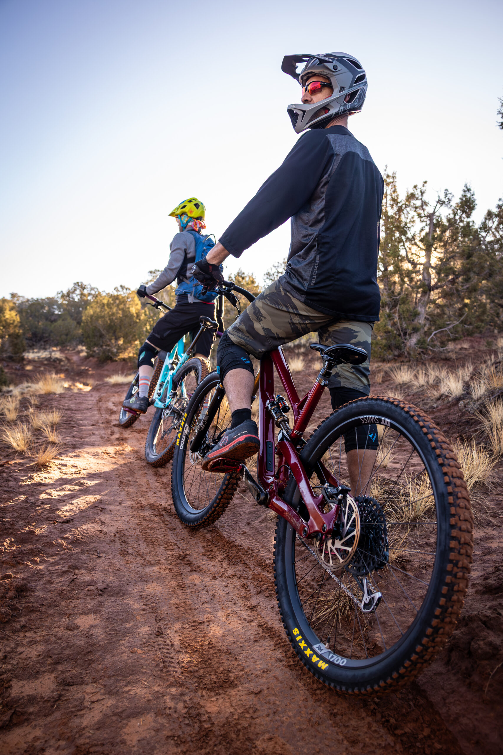
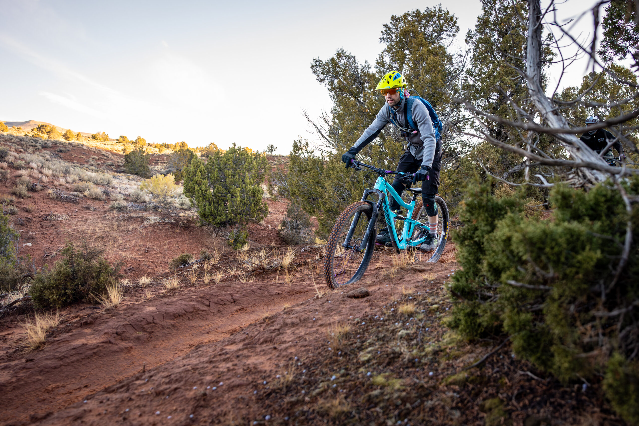
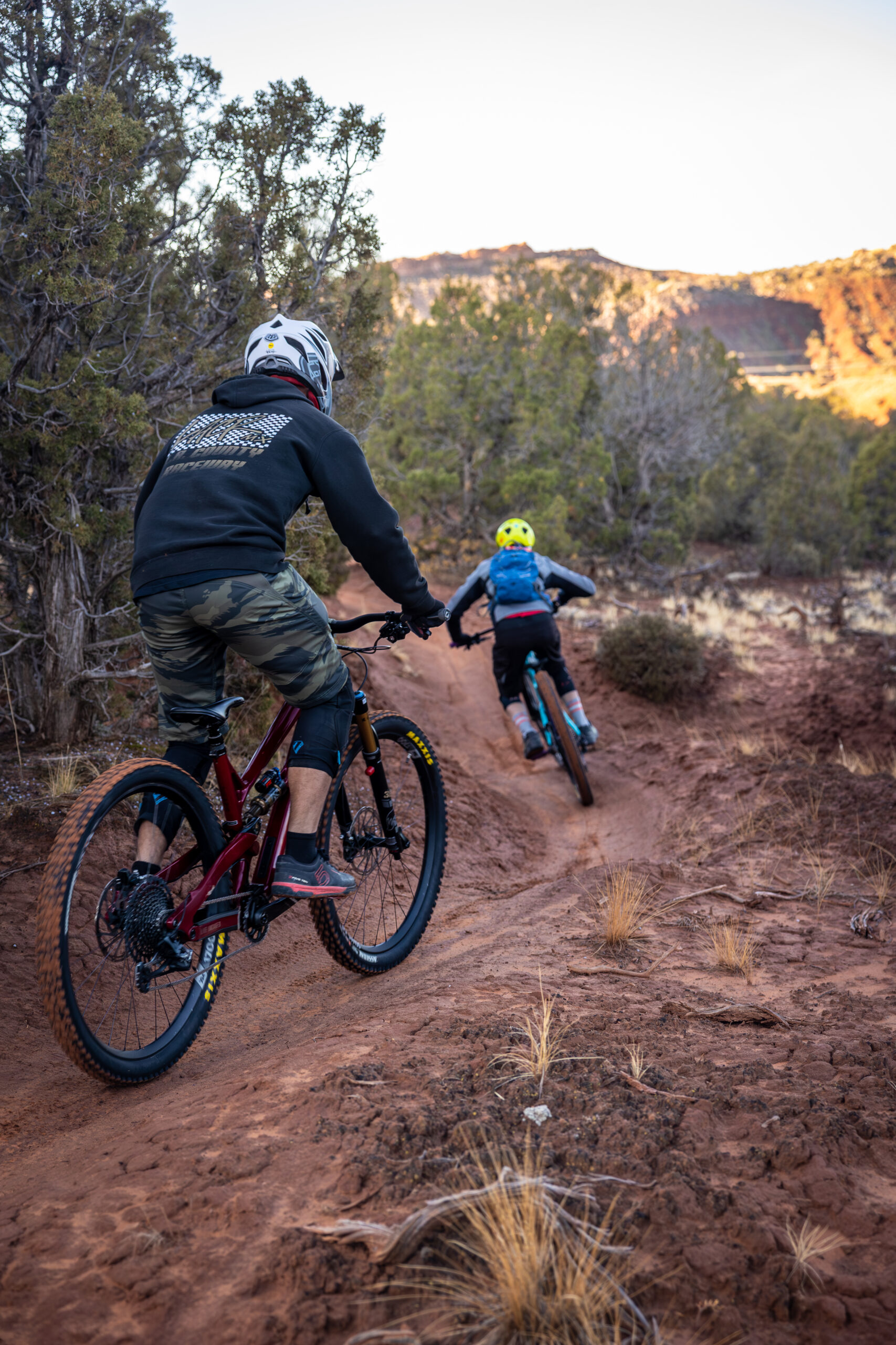
The Best Mountain Biking in Vernal
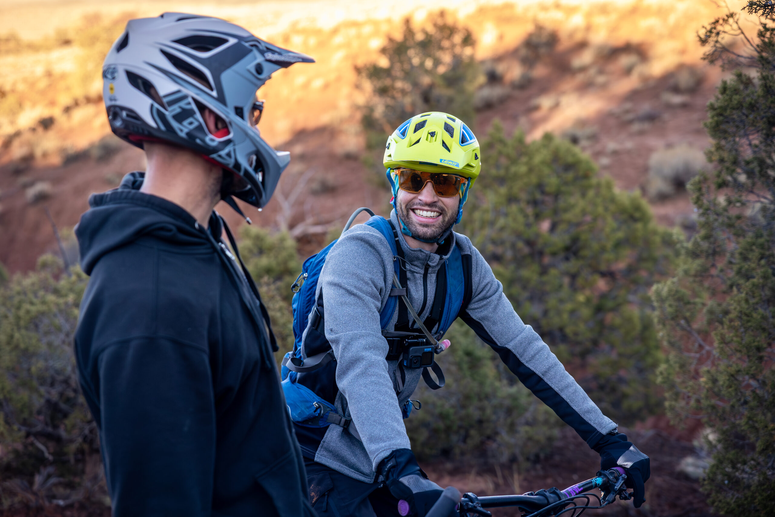
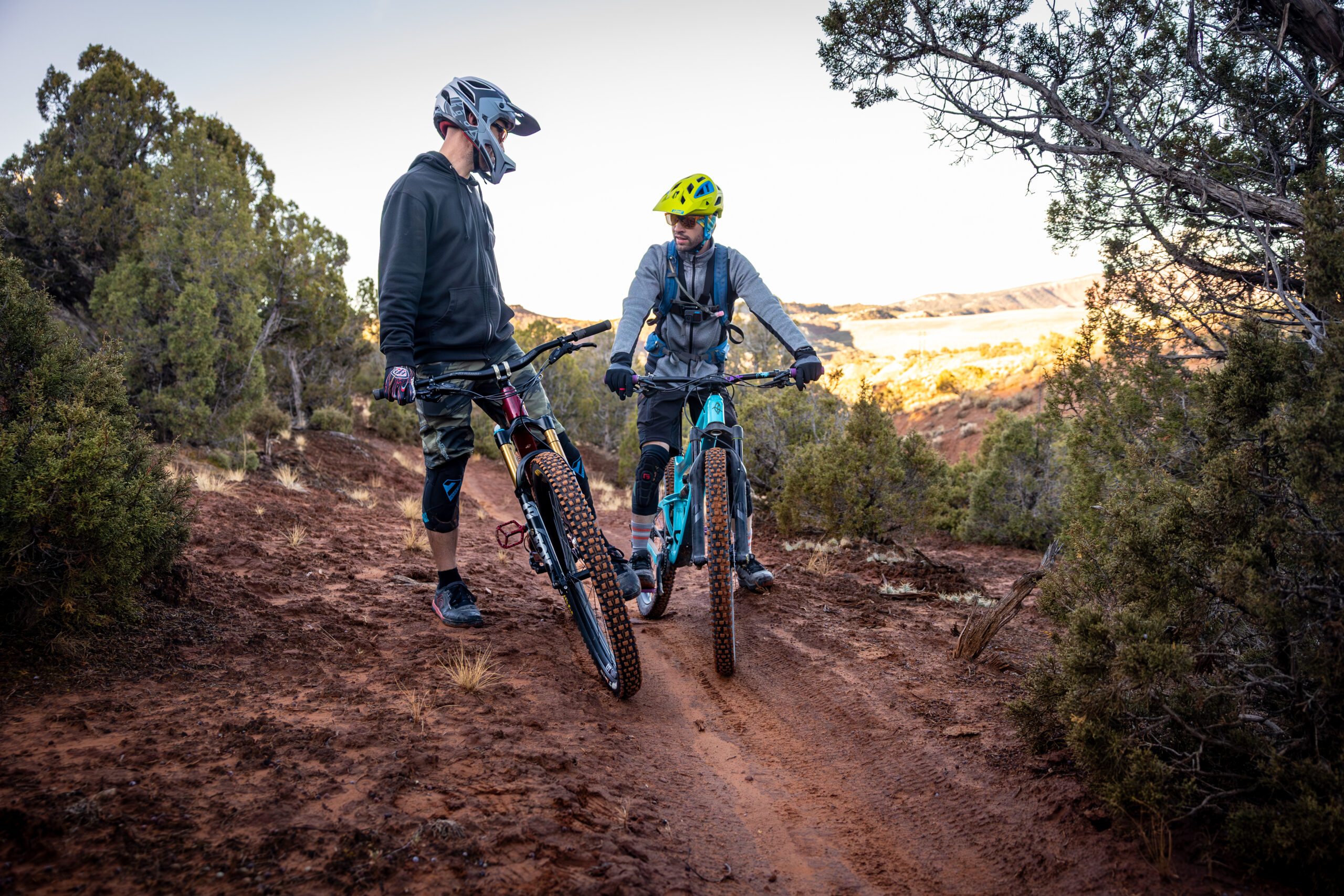
Vernal is home to two main, world-class mountain biking systems managed by the Bureau of Land Management (BLM): McCoy Flats and the Red Fleet Non-Motorized Trail Complex. Combined, they offer over 60 miles of diverse singletrack.
McCoy Flats
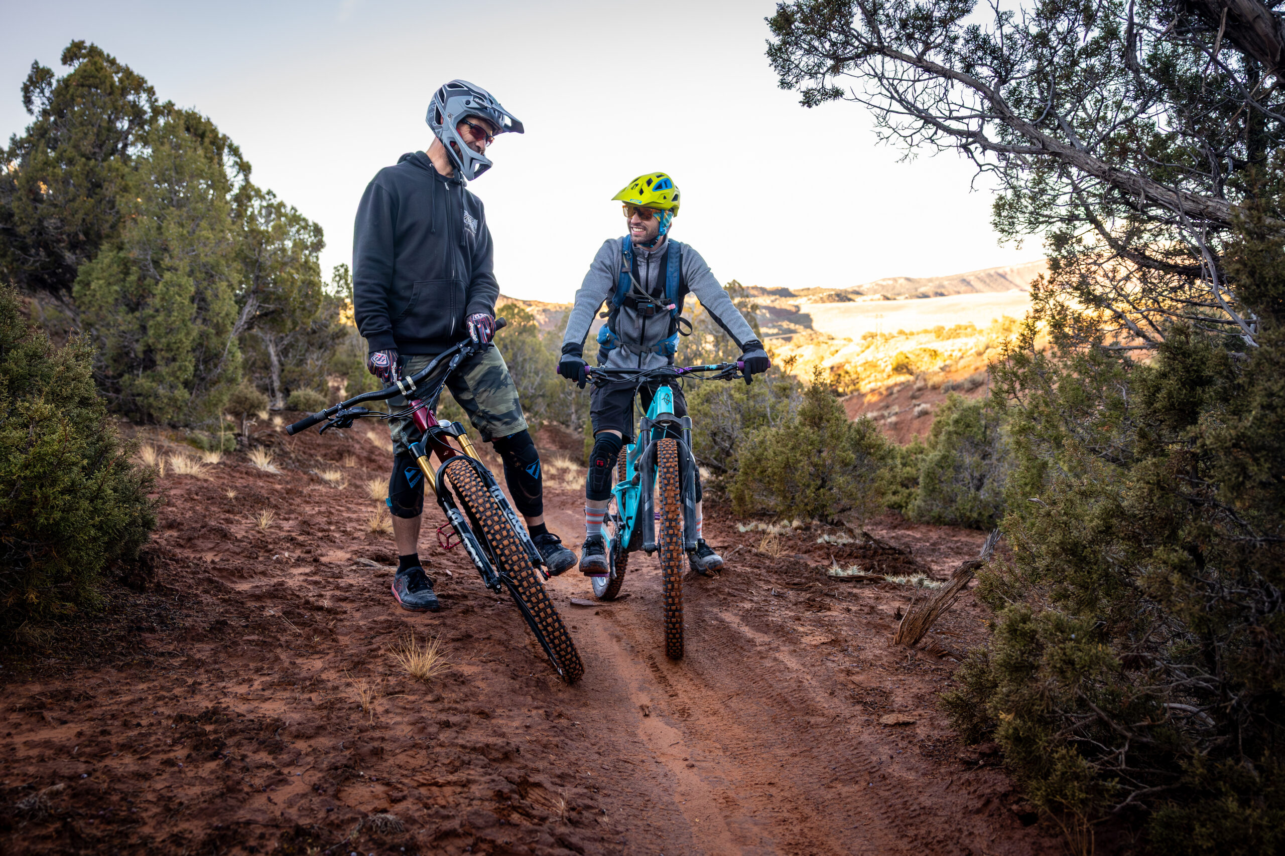
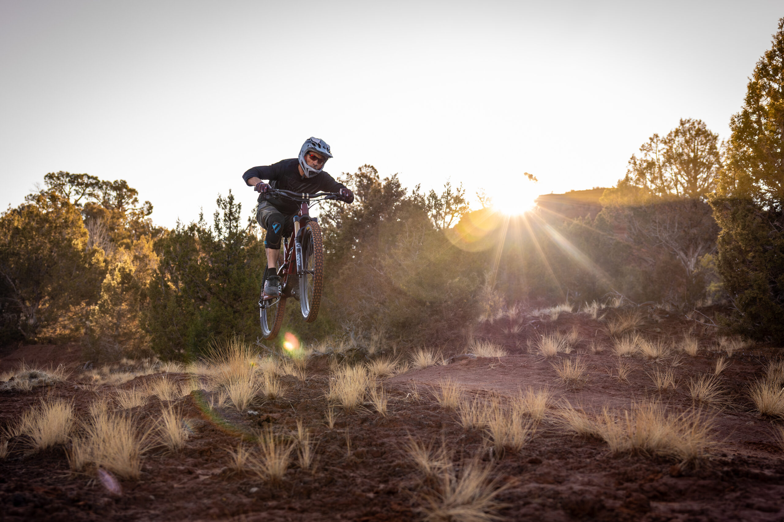
Located just west of town, this is the most popular system. It features over 35 miles of flowing desert singletrack.
Best for beginners and cross-country riders.
Top Trails
- Combo & Cookies: Perfect for beginners or a quick warm-up.
- Got Milk?: A local favorite intermediate loop with great flow.
- Retail Sale: An 8-mile intermediate/advanced loop with technical sections.
- Fire Sale: Advanced riding with steep descents and technical climbs.
Red Fleet
Located north of Vernal near the reservoir, these trails offer more "slickrock" and technical challenges with incredible views of the red cliffs.
Best for intermediate to advanced riders looking for technical features.
Top Trails:
- J-Boy: A technical downhill track with rocky drops.
- Handsome Cabin Boy: Flowy singletrack with great views.
- Jazz Chrome Molly: A fast, "roller coaster" style ride.
Dry Fork Canyon
If it’s too hot in the desert, head to the canyon for shade and cooler temperatures.
-
Best for summer riding and those who love forested terrain.
- The Flume Trail: A 20-mile trail that follows an old logging flume. It ranges from easy sections to advanced rocky technical parts.
Find Your Next Dinoland Biking Trail
Find your perfect ride—from flowing desert singletrack and technical slickrock ridges to cool alpine forests and remote gravel plateaus.
A route for everyone!
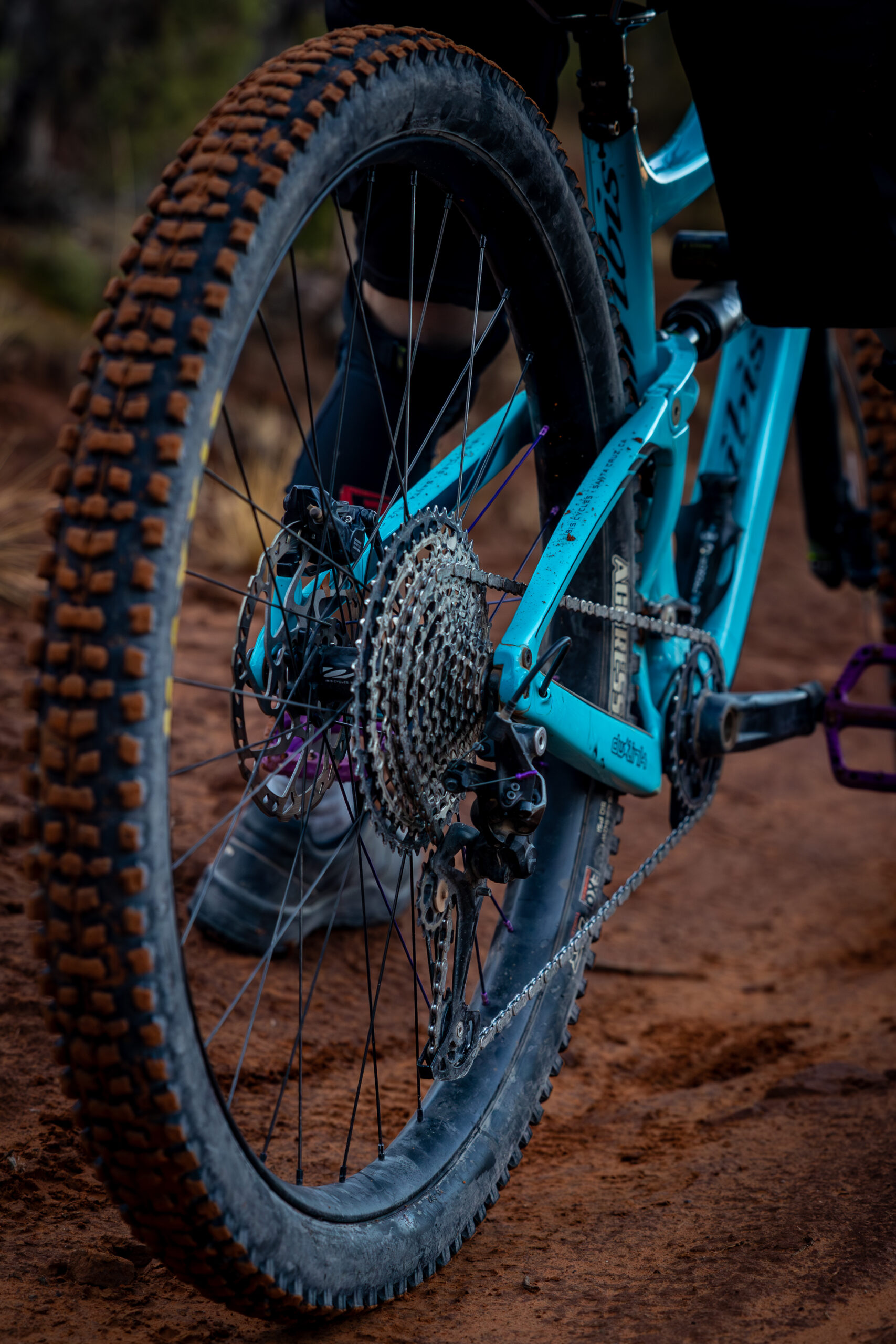
Gravel Biking
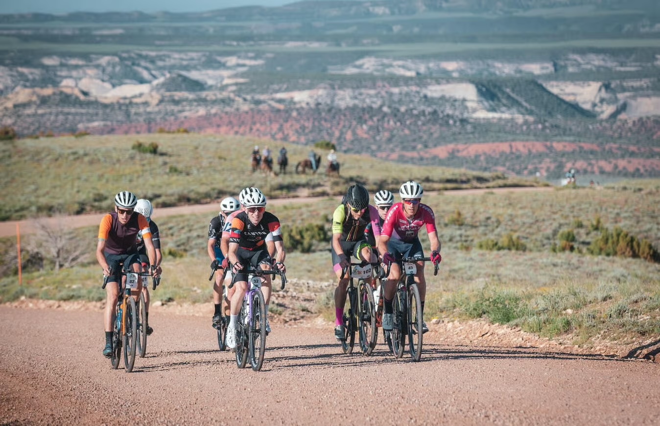
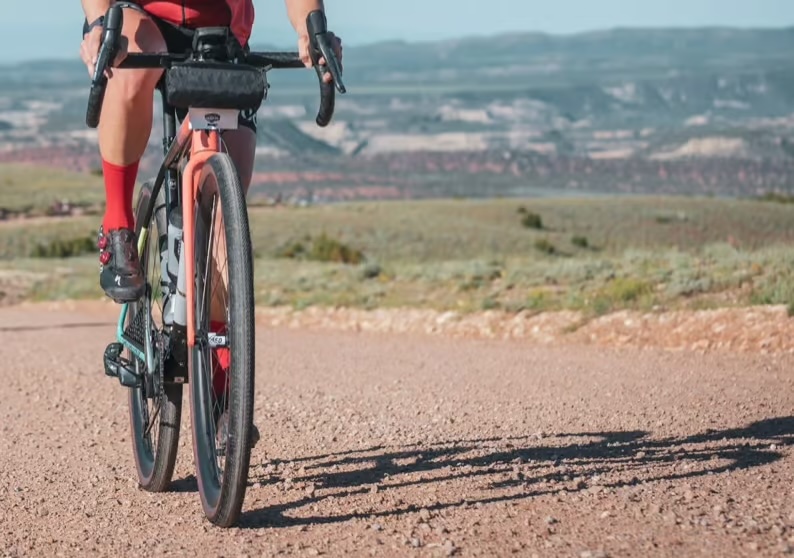
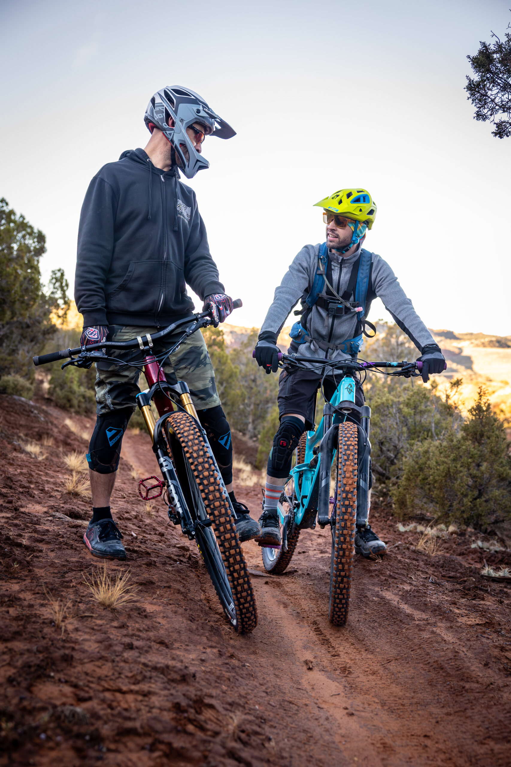
Gravel biking in the Uinta Basin is a journey through deep time. Surrounded by thousands of miles of unpaved "oil and gas" roads, ranch tracks, and Forest Service paths, you can ride for hours through red rock canyons and high-desert plateaus without seeing a single car.
-
The Red Cloud Loop: The "crown jewel" of the region. A stunning 45+ mile scenic backway that transitions from red rock desert up into lush, high-alpine meadows.
-
Dirty Dino Race Routes: Follow the official tracks of the annual "Dirty Dino" race, including the legendary 100-mile T-Rex loop for the ultimate endurance challenge.
-
Diamond Mountain Network: A massive area of remote roads offering "punchy" climbs and smooth gravel sections with incredible high-plateau views.
-
Buckskin Hills & Lapoint: For quick access, visit the Buckskin Hills complex for free gravel paths, or head to the Lapoint area for the famous "Racetrack Loop" and quiet desert double-track.
-
Dinosaur National Monument Access: A 48-mile out-and-back via Brush Creek Road.
Its mix of rough pavement and gravel makes it a perfect ride to the world-famous Dinosaur Quarry.

Road Biking & Touring
If you prefer pavement, the "Dinosaur Country" routes are world-class but can be challenging due to elevation.
-
Dinosaur Country Cruise (48 miles): Starts in Vernal City Park and goes out to the Dinosaur National Monument Quarry. It’s a rolling out-and-back with great pavement once you enter the monument.
-
Flaming Gorge Scenic Byway (Hwy 191): For serious climbers. This route heads north from Vernal, climbing up into the Uinta Mountains towards Flaming Gorge. It offers massive elevation gain and stunning alpine views.
-
Red Cloud Loop: A high-altitude scenic backway. While mostly used for gravel biking, the paved sections offer some of the most remote and beautiful road riding in northeastern Utah.
Know Before You Go: Planning & Safety
The Vernal area is a rugged environment where cell service can be scarce once you leave the main highway. Use these resources to plan a safe trip:
Offline Navigation: Since service is unreliable, always download offline maps (Trailforks, MTB Project, or Avenza) and have a clear route plan before heading out.
Hydration: This is a high-desert climate. Carry at least 2–3 liters of water per person; most trailheads do not have water sources.
Local Support: Visit one of the local shops in downtown Vernal for rentals, gear, or current "dirt" on trail conditions.
Official Agency Contacts: For the most accurate trail conditions, snow levels, or forest road washouts, contact the local offices:
- Ashley National Forest Office: (435) 789-1181 | 355 North Vernal Avenue
- BLM Vernal Field Office: (435) 781-4400 | 170 South 500 East
Note: While the Uinta Mountains offer incredible forest roads, all mechanical transport (including bicycles and e-bikes) is strictly prohibited within the High Uintas Wilderness boundaries