



High Uintas Wilderness Area
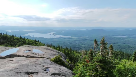
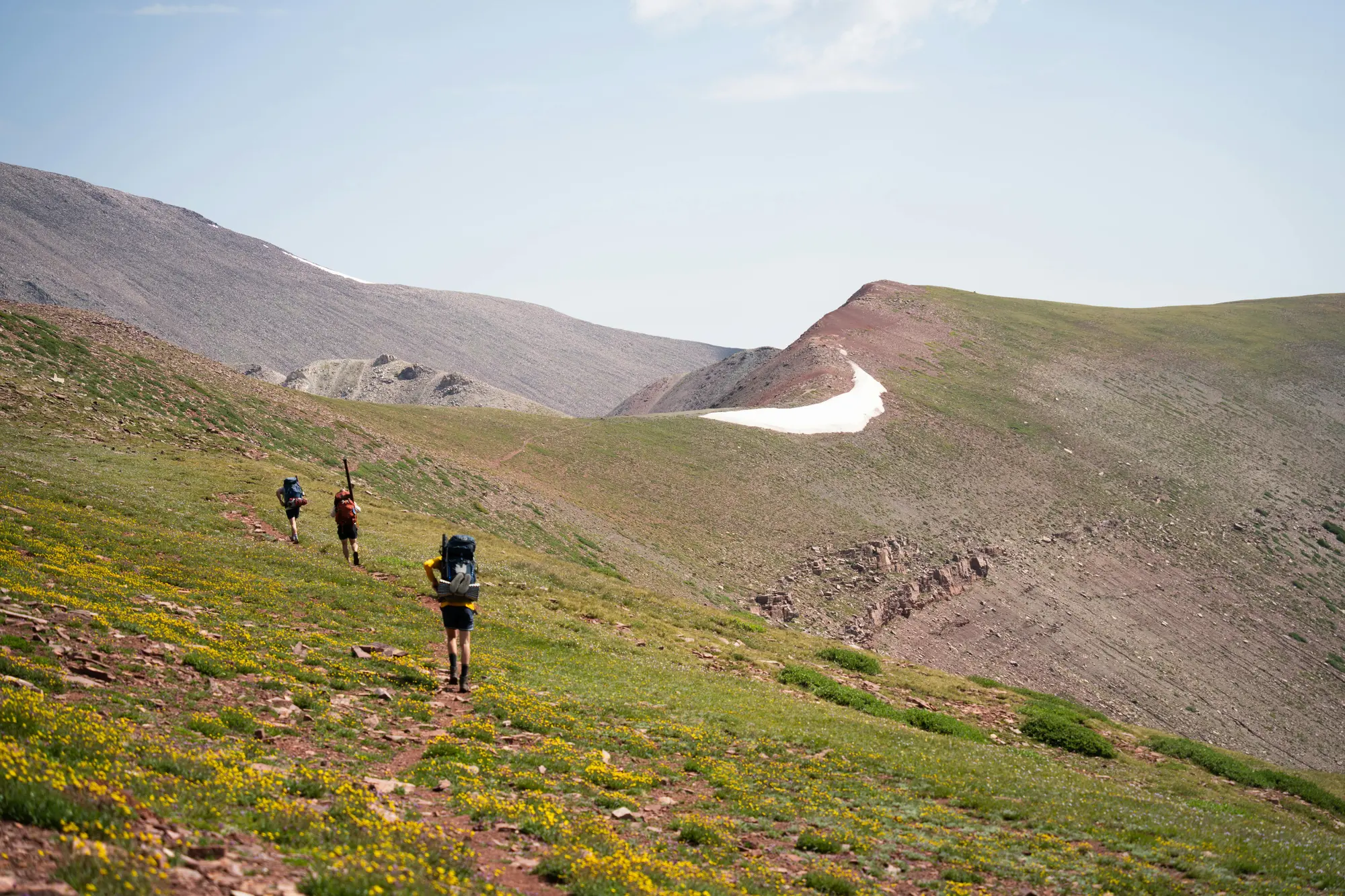
The High Uintas Wilderness is a massive 456,705-acre sanctuary that feels worlds away from the desert below. It is the only major mountain range in the lower 48 that runs east-to-west, creating a unique landscape of glaciated basins, jagged peaks, and over 1,000 high-alpine lakes.
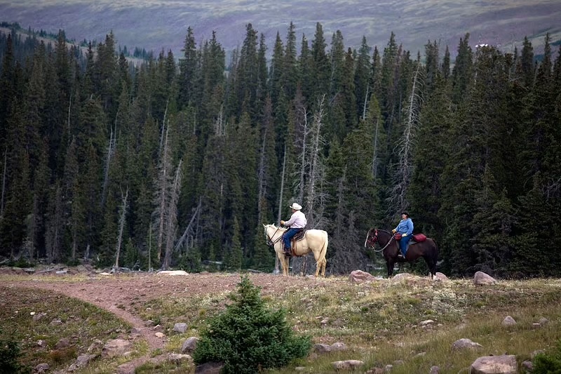
Home to Kings Peak—the highest point in Utah at 13,528 feet—this is a true wilderness area. There are no roads, no motorized vehicles, and no mechanical equipment allowed, preserving a level of quiet and solitude that is rare in the modern world.
Ways to Explore
Backpacking & Hiking: With over 545 miles of trails, the Uintas offer everything from easy day hikes to multi-day expeditions. The legendary Highline Trail traverses the entire range for those seeking the ultimate high-altitude challenge.
World-Class Fishing: The alpine lakes are teeming with Brook, Cutthroat, and Grayling trout. Many of these lakes are so remote that they see very few anglers each year.
Peak Bagging: For the adventurous, the Uintas offer dozens of 12,000+ and 13,000+ foot peaks to summit, providing panoramic views that stretch across the entire Uinta Basin.
Know Before You Go
The Window: Due to high elevation, the hiking season is short. Trails are typically blocked by snow until late June or July, and the first snow usually returns by mid-September.
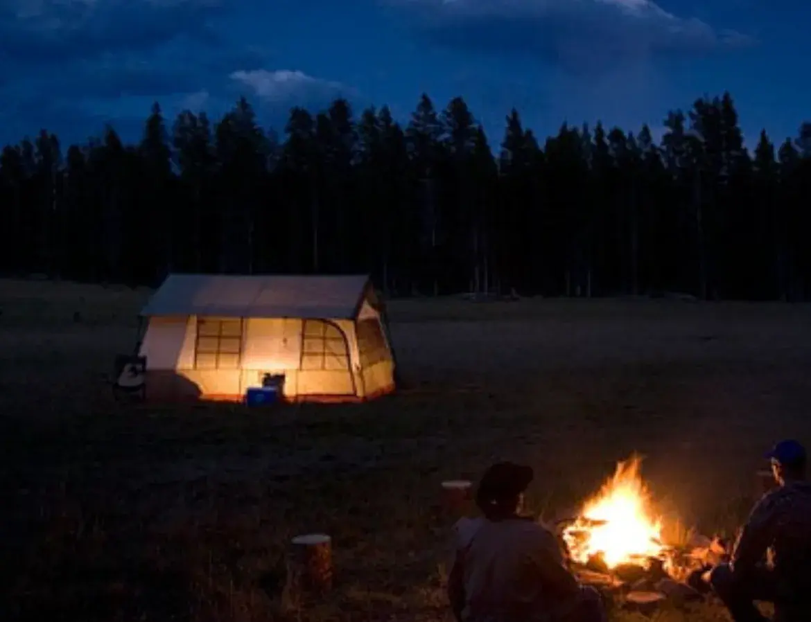
Rapid Weather Changes: Even in mid-summer, afternoon thunderstorms are common. Always pack a rain shell and be prepared for temperatures to plummet after sunset.
Wilderness Ethics: This is a "Leave No Trace" area. Groups are limited to 14 people to protect the fragile alpine tundra.
Local Access: While the range is vast, the best local access points from the Vernal side are Whiterocks and Uinta Canyon.
Uintas Information
Recreation fees and permits apply at many locations. For the latest trail conditions, official Forest Service maps, or permits such as firewood and Christmas trees.